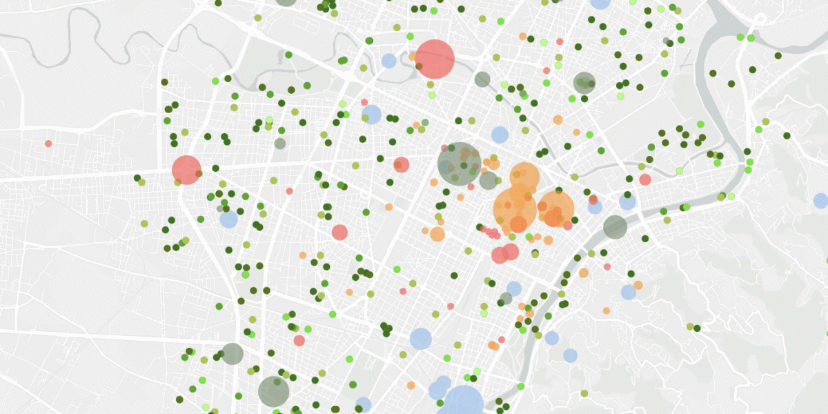
Metropolitan Geographies is a platform describing the Torino urban and metropolitan area by connecting the physical and socioeconomic dimensions, through a series of maps and visualizations the urban phenomena are georeferenced.
It is an open access, dynamic, cross cutting and up to date tool focusing on six thematic areas: people, services, cultures, mobility, environment, economies. The maps and visualizations available in Metropolitan Geographies are improved over time thanks to the release of new information assets and the development of specific studies and datasets by public authorities, research institutes, local, regional and national statistical offices. It also includes a section called Map Builder that allows users to create custom maps using the entire catalog of data available in the other sections
Metropolitan Geographies is designed for those who intend to consult elaborations, open data and cartographic representations for public communication, story-telling, information, promotion of the local ecosystem, as well as for the support to urban analyses and planning activities.
Metropolitan Geographies works as a collector and a trait-d’union among sources and data which are different in terms of origin, level of detail, specific orientations. To date, several stakeholders from the metropolitan area of Torino have been contributing to feed the platform by offering open datasets, elaborations, researches: Arpa Piemonte, Torino Chamber of Commerce/Studies and statistics, Centro Einaudi /Rapporto Giorgio Rota su Torino, City of Torino/Statistical Office/Mobility Department, Metropolitan City of Torino/Demographic Observatory, Housing and Social Observatory, Compagnia di San Paolo Foundation, Istat, Piemonte Cultural Observatory, Polytechnic University of Torino/Lartu, Piemonte Region, 5T.

